
The UN General Assembly recently voted in favour of a motion, led by many African countries, to adopt a map that enlarges their continent and shrinks North America and Europe.
The resolution, aimed at “a more accurate representation” of the continents, was backed by 164 countries, with the United States voting against it and six other states abstaining, AFP said.
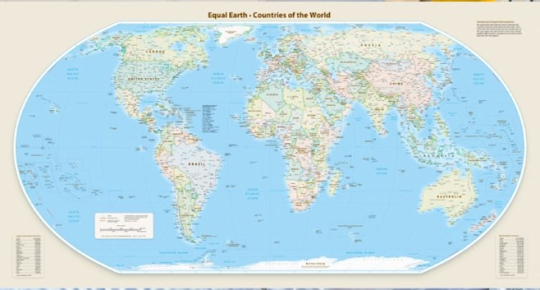
The new map, called the Equal Earth cartographic projection, “is a relevant option to improve the accuracy of the cartographic representation of the world,” the resolution declared.
It calls on member nations to adopt the new map to replace the old Mercator projection, created by Flemish cartographer Gerardus Mercator in 1569 for sea navigation.
“Maps guide education, feed the imagination and shape common perceptions,” said Robert Dussey, Togo’s Foreign Minister and the force behind the resolution.
“They are never neutral, therefore, and when they give a distorted image of our planet, they risk perpetuating inaccurate representations that are passed down through generations,” Dussey added.
The United States, meanwhile, lambasted the resolution, saying such efforts are “the reason this institution is losing its credibility.”
US Representative Yaryna Ferencevych remarked ahead of the vote that “instead of dealing with real issues… this body is debating map projects of the 16th century and their role in driving reparations and cognitive justice.”
The Mercator projection was notable for accurately depicting the forms and angles of land masses, but their relative sizes were sometimes wrong – partly because of the difficulty of projecting a three-dimensional globe onto a two-dimensional map.
It bulged out the north, squeezed the equator, such that Europe and North America seemed to be much larger, while Africa and South America became smaller.
In 2018, a group of cartographers introduced the Equal Earth projection. It makes Africa, Latin America, South Asia and Oceania look considerably bigger.
Bojan Savric, one of the cartographers, said to our correspondent in 2025: “Equal Earth preserves the relative surface areas of continents and, as much as possible, shows their shapes as they appear on a globe.
Yesterday France, co-sponsor of the resolution supporting the new map, said it was dropping the Mercator projection.
“The United States, Russia and China have a disproportionate visual prominence on that map compared to Africa, Latin America or Southeast Asia,” while “Greenland appears almost as big as Africa,” Foreign Minister Jean-Noel Barrot stated.
“Clearly changing maps doesn’t change the world,” he added.
“But correcting a misrepresentation is an act of truth in itself.”
The move comes as France tries to repair its relationships with Africa, especially in former colonies with which it has had thorny relations.
About the Author